
blah blah blah
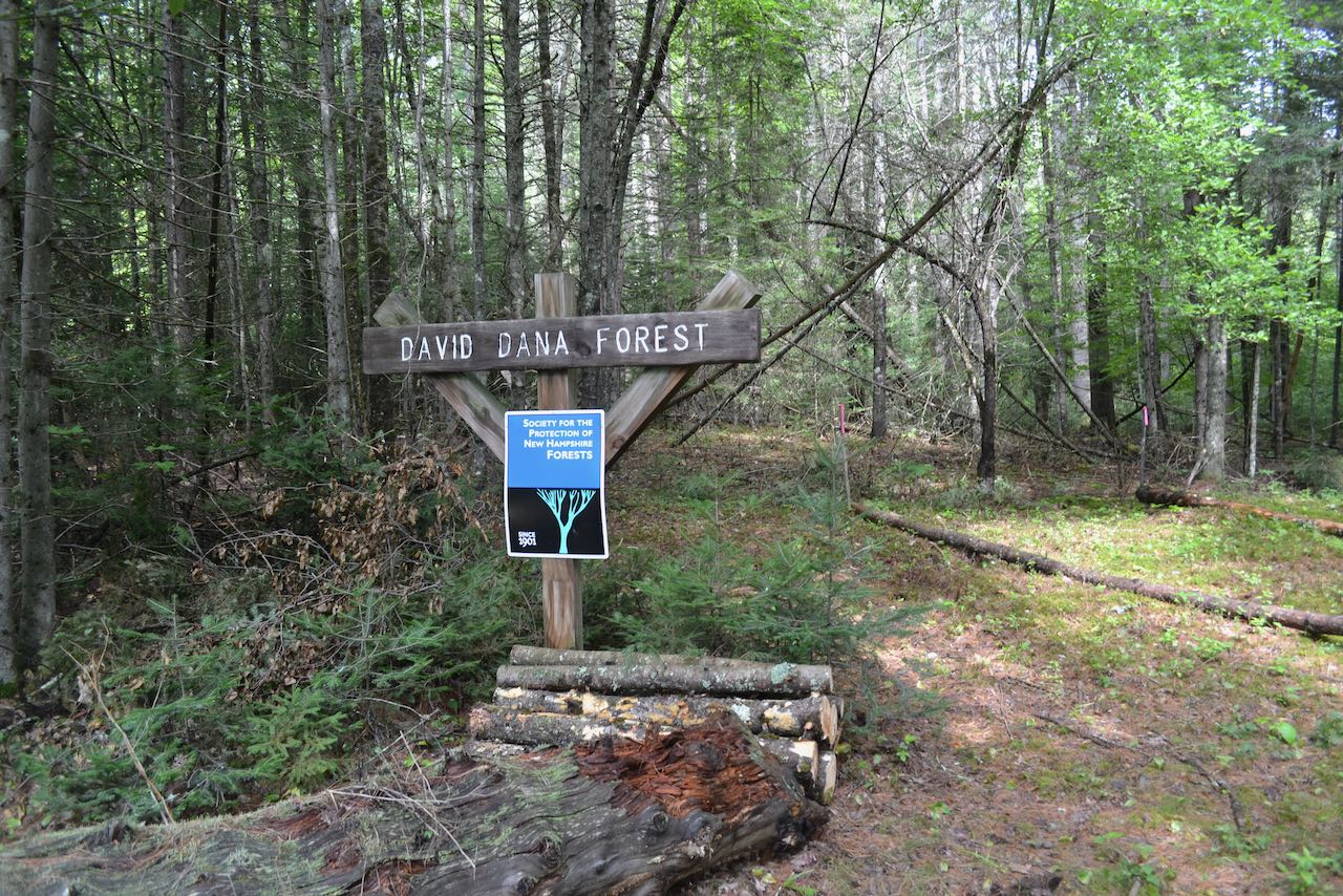
Dana Forest Gold Mine
Length: 2.4 miles out-and-backDifficulty (click for info): Easy
Elevation Gain: 160 feet (+40 feet on return)
Rating (click for info): 6/10
Driving Directions:
Trailhead and parking area are on Ridge Road in Dalton, NH. From the circle in the center of Whitefield, drive west on Main Street, and in 0.1 miles, bear left onto Brown Street. Drive 1.3 miles (the name changes to Faraway Road after 0.5 miles) and then turn right onto Ridge Road. Go 0.6 miles and look for the trailhead with the Forest Society property sign on the right. Click here for a Google map.
Trail map
About the Hike:
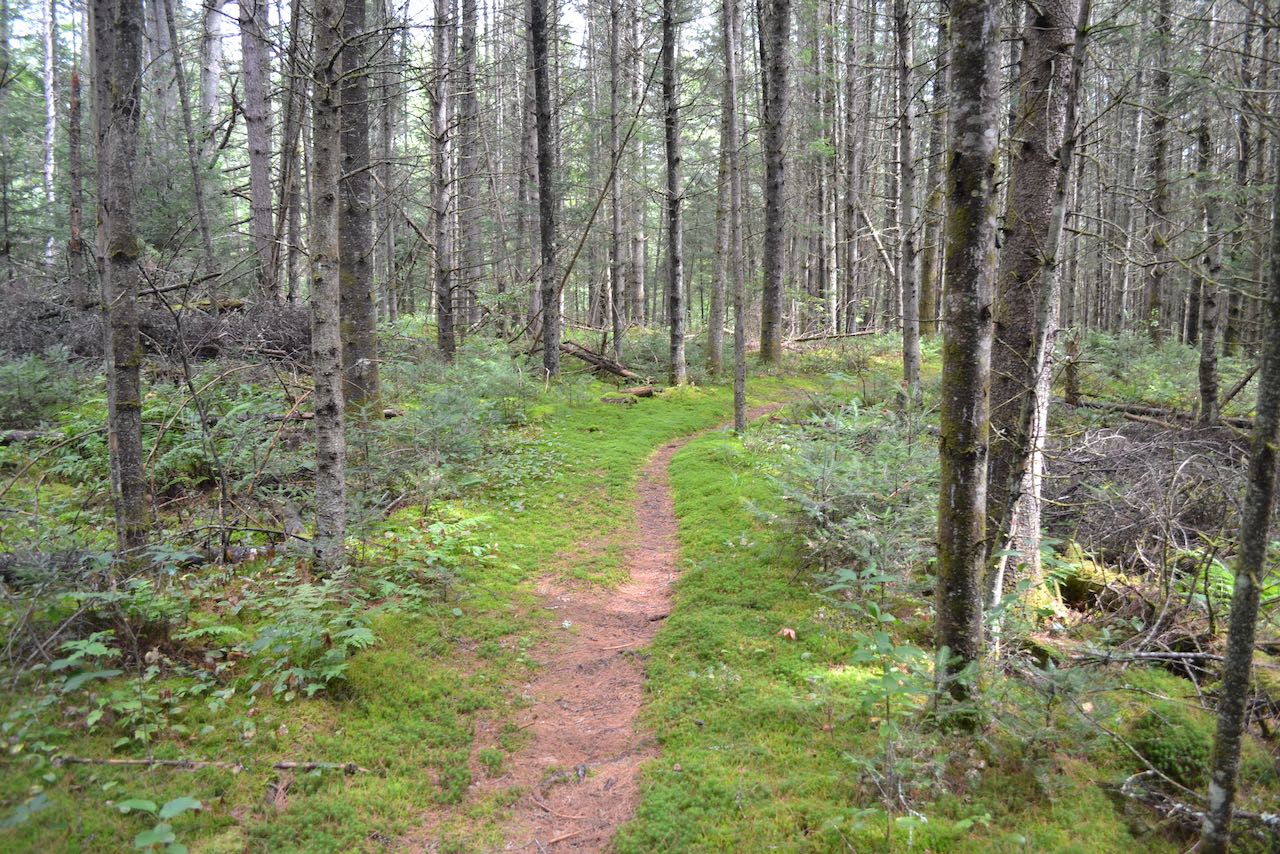
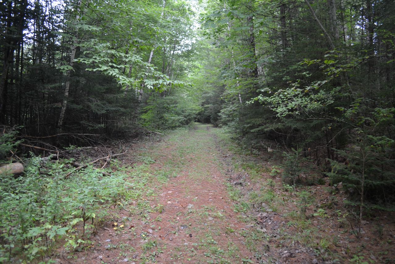
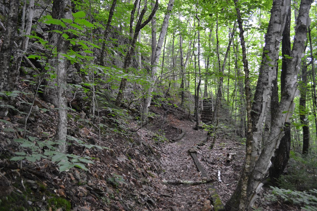
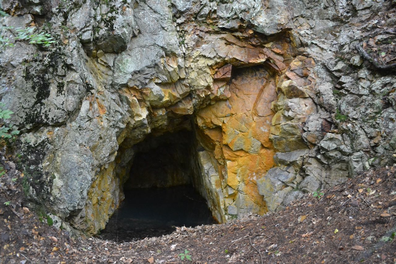
Located on the slopes of the northern end of the Dalton Range, the Forest Society's David Dana Forest conceals a historical treasure - a gold mine. The site was owned by the Whitefield Mining Company during the 1880's, but was abandoned after a brief operation in which the company determined the mine was not economically feasible. It is still a unique and interesting sight to see in the middle of the forest! To reach the mine, head off on the Gold Mine Trail (not signed) from the parking area. The trail descends slightly over a carpet of moss through enchanting open fir forest, crosses a small brook, and heads through a straight spruce corridor. After 0.7 miles, the trail intersects a woods road shown on maps as "Lower Ox Team Road". Turn left and follow the road for 0.2 miles, then take a right back onto the foot trail. The trail heads out across the slope, circles around the side of a brook drainage, and leads below a band of ledges. It makes use of a wooden staircase, then takes one switchback and arrives at the mine site in 0.3 miles from the old road. Use caution around the opening, as you would not want to lose anything down the flooded, 100-foot deep shaft!
Printable directions page